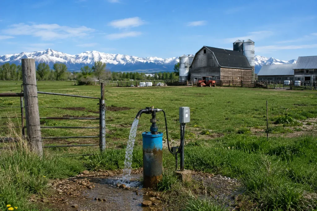
FAST HOLE DRILLING
Find Water Before You Drill a Well
Compare promising groundwater locations before committing to a borehole. WaterFind USA uses advanced seismic groundwater survey technology, available well information, and site-specific conditions to help property owners evaluate possible water-bearing zones before drilling begins.
Drilling is the only way to confirm the actual underground conditions at a specific location. A pre-drilling groundwater assessment can provide additional information before that investment is made.
Why Find Water Before Drilling?
Drilling a water well can represent a significant investment. Once drilling begins, the cost of mobilization, drilling, casing, materials, and related work has already started.
Choosing a drilling location without first gathering available information can increase uncertainty. A pre-drilling groundwater site assessment can help property owners compare possible locations before committing to a borehole.
The purpose is not to guarantee a successful well. The purpose is to provide additional information that can support a more informed drilling decision.
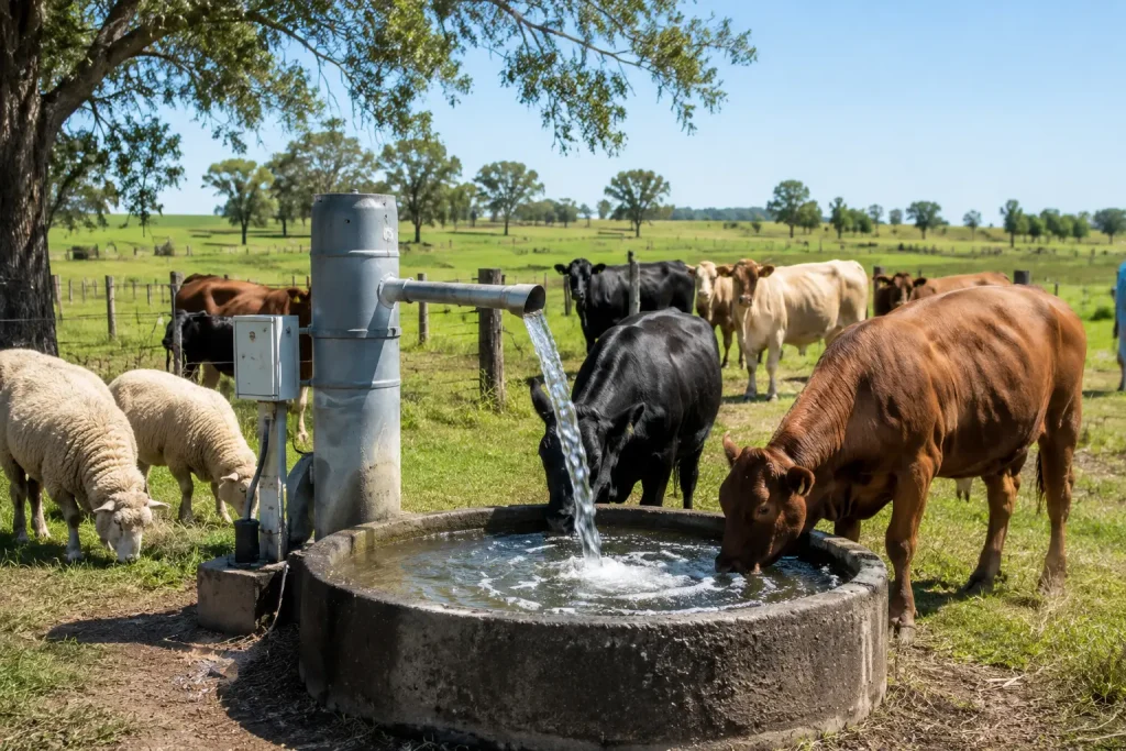
Why Find Water Before Drilling?
Drilling a water well can represent a significant investment. Once drilling begins, the cost of mobilization, drilling, casing, materials, and related work has already started. Choosing a drilling location without first gathering available information can increase uncertainty. A pre-drilling groundwater site assessment can help property owners compare possible locations before committing to a borehole. The purpose is not to guarantee a successful well. The purpose is to provide additional information that can support a more informed drilling decision.
Groundwater Is Not the Same Everywhere on a Property
Groundwater conditions can vary across relatively short distances. One part of a property may contain:
- A thicker water-bearing formation
- More permeable material
- Better-connected fractures
- A stronger interpreted groundwater response
Another location may contain:
- Dense rock
- Clay
- Thin water-bearing material
- Poorly connected fractures
- Weaker groundwater conditions
This is why choosing the final drilling location can matter.
How WaterFind USA Helps Locate Groundwater
WaterFind USA provides pre-drilling groundwater site assessments. The process combines several types of available information. Depending on the property, this may include:
- Seismic groundwater survey data
- Nearby water-well records
- Property layout
- Proposed drilling locations
- Access for drilling equipment
- Existing geological information
- Practical site constraints
The results can be used to compare possible drilling locations. The final decision should also be discussed with the drilling contractor responsible for constructing the well.
What Is a Groundwater Site Assessment?
A groundwater site assessment is completed before drilling. Its purpose is to gather additional information about possible subsurface groundwater conditions. WaterFind USA uses advanced seismic technology as part of this process. The survey does not physically drill into the aquifer. Instead, the collected data are interpreted to help evaluate differences between potential well locations.
How the Seismic Groundwater Survey Works
WaterFind USA uses electro-seismology as part of its groundwater survey process. A controlled seismic pulse is introduced at the ground surface. The energy travels through underground formations. Sensitive equipment records measurable subsurface responses that can be interpreted to help evaluate possible groundwater-bearing zones. The survey may help estimate or compare:
- Possible aquifer depth
- Possible aquifer thickness
- Relative groundwater conditions
- Differences between survey locations
- Potential water-bearing zones
For a full explanation of the technology, see the Electro-Seismology Groundwater Survey page.
What Can the Survey Help Estimate?
Potential Aquifer Depth
The survey may help estimate the depth at which a possible water-bearing formation occurs. This is an estimate rather than a guaranteed drilling depth.
Potential Aquifer Thickness
The survey may provide interpreted information about the possible thickness of a groundwater-bearing zone. A thicker interpreted zone does not automatically guarantee a high-producing well.
Relative Groundwater Potential
Several survey locations can be compared. This can help identify locations showing stronger or weaker interpreted groundwater responses.
Differences Between Proposed Well Locations
The survey may help a property owner compare multiple possible drilling locations rather than selecting a location based only on convenience.
What the Survey Cannot Guarantee
A groundwater survey should not be presented as a guarantee of a particular drilling result. The survey cannot guarantee:
- Exact groundwater depth
- Exact well depth
- Exact gallons per minute
- Exact sustainable yield
- Exact water quality
- That a specific borehole will produce sufficient water
- That unexpected geological conditions will not occur
Actual conditions are confirmed by drilling. Final sustainable well yield should be evaluated through well development and pump testing. Water quality should be confirmed through appropriate laboratory testing.
Why Drilling Is Still Required
A groundwater survey provides information before drilling. Drilling provides direct confirmation. When the drilling contractor constructs the borehole, the actual subsurface conditions can be observed.
These may include:
- Formation type
- Rock conditions
- Groundwater entry
- Fractures
- Aquifer material
- Final drilling depth
The completed well can then be developed and tested.
Why Nearby Wells Are Useful – But Not a Guarantee
Nearby water-well records can provide valuable information about previous drilling in the area. Depending on the record, useful information may include:
- Total well depth
- Static water level
- Reported yield
- Casing depth
- Well construction
- Geological formations
- Completion date
This information can help establish regional expectations. However, a nearby well does not guarantee that another location will produce the same result. Geological conditions can change between properties and even across a single property.
If My Neighbor Has Water, Will I Find Water Too?
Not necessarily. A nearby well may intersect a productive formation or fracture that does not continue beneath the proposed drilling location. Differences in geology, aquifer thickness, fracture connectivity, topography, well depth, and well construction can result in different well performance.
Does Drilling Deeper Always Mean More Water?
No.
A deeper borehole does not automatically produce more groundwater.
A deep well may pass through:
- Dense rock
- Low-permeability formations
- Poorly connected fractures
- Thin water-bearing zones
without encountering a highly productive aquifer.
A shallower location may sometimes intersect a better water-bearing formation.
The quality of the aquifer is more important than depth alone.
What Is an Aquifer?
An aquifer is an underground geological formation that can store and transmit useful quantities of groundwater.
Aquifers may occur in:
- Sand
- Gravel
- Sandstone
- Limestone
- Fractured rock
- Volcanic formations
- Other permeable geological materials
Groundwater is generally stored in and moves through connected pores and fractures rather than large underground rivers.
What Is the Water Table?
The water table is the upper surface of the saturated groundwater zone.
Its depth can change due to:
- Rainfall
- Snowmelt
- Recharge
- Drought
- Seasonal conditions
- Groundwater pumping
A measured groundwater level from a nearby well is useful information, but it does not mean another well will encounter groundwater at exactly the same depth.
Survey Before Drilling vs. Drilling Without Site Data
Both approaches still require drilling to confirm the actual groundwater conditions. The difference is how much information is gathered before the drilling location is selected.
| Planning Factor | Drill Without Site Assessment | Groundwater Site Assessment First |
| Nearby well records | May or may not be reviewed | Can be included in planning |
| Multiple drilling locations | Often not compared | Can be compared |
| Subsurface survey information | Limited | Seismic survey data can be considered |
| Possible aquifer depth | Based mainly on local expectations | Survey estimate may provide additional guidance |
| Possible aquifer thickness | Usually unknown | May be interpreted from survey data |
| Final groundwater confirmation | Drilling | Drilling |
| Final yield confirmation | Pump testing | Pump testing |
| Water-quality confirmation | Laboratory testing | Laboratory testing |
A survey does not eliminate drilling risk. It provides additional information before drilling begins.
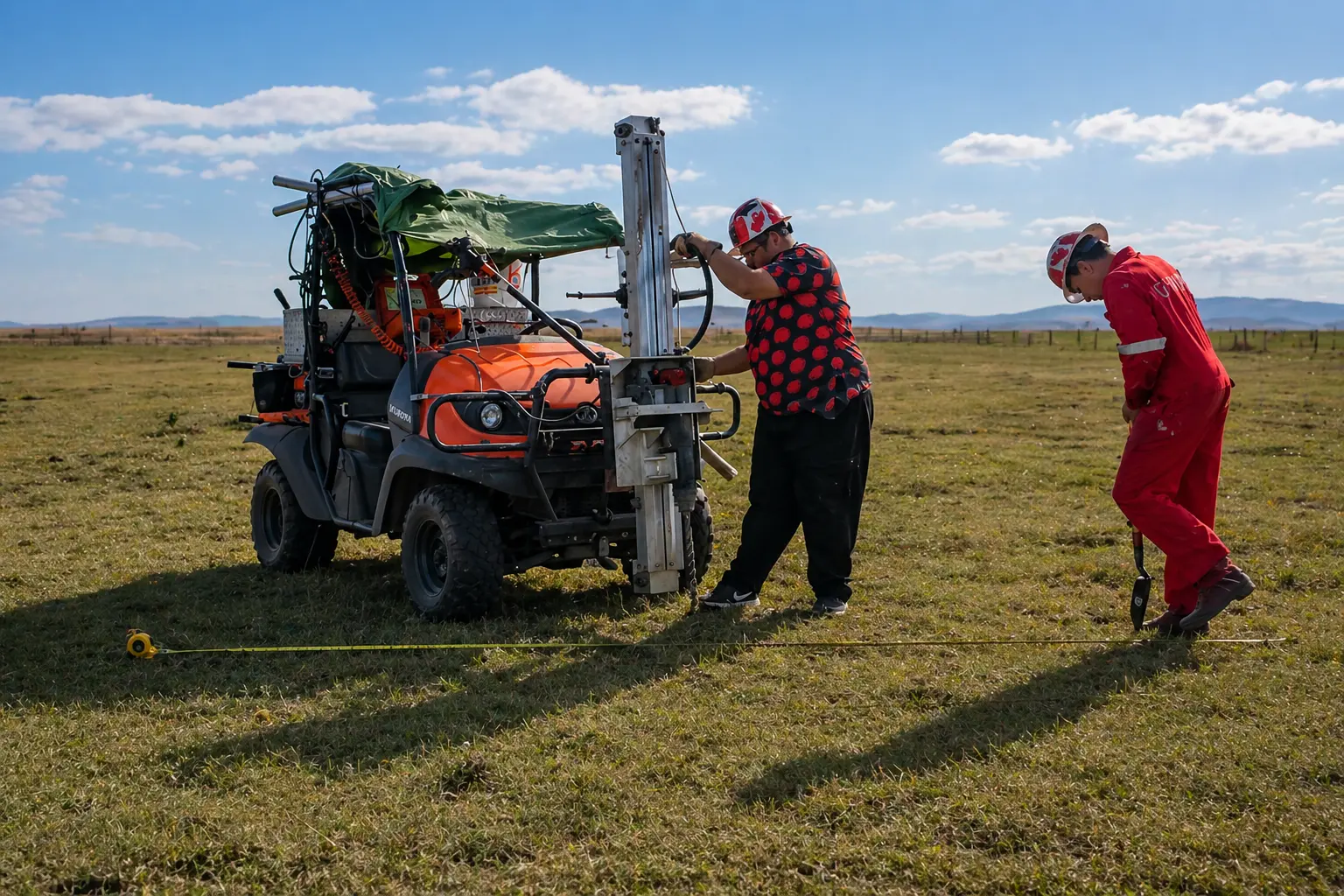
Compare Possible Well Locations Before You Commit to Drilling
You may only get one first chance to choose where the drilling rig begins. A groundwater site assessment can help compare possible drilling locations before the contractor mobilizes equipment and construction starts.
Who Can Benefit From a Groundwater Survey?
Homeowners & Rural Acreages- Property owners planning a domestic well may want additional groundwater information before selecting the final drilling location.
Farms- Reliable groundwater may be important for household use, livestock, cleaning, and agricultural operations. A survey can help compare possible well locations before drilling.
Livestock & Ranch Properties-Livestock operations may require reliable water throughout the year. Projects with higher water demand should also consider sustainable yield and storage requirements.
Irrigation Projects- Irrigation can require substantially more water than normal domestic use. For high-demand projects, aquifer conditions and sustainable yield are especially important.
Commercial Properties-Commercial groundwater projects may involve higher water demand, larger infrastructure, and greater drilling investment. Gathering additional groundwater information before drilling can support project planning.
How Many Locations Should Be Surveyed?
The number of survey points depends on the property. Factors may include property size, proposed drilling area, access, terrain, buildings, underground utilities, and customer objectives. Comparing multiple survey points can provide more useful information than evaluating only one location.
What Should You Prepare Before the Survey?
Before your groundwater site assessment, gather any available property information. Helpful information may include:
- Property address
- GPS coordinates
- Property map
- Nearby well information
- Existing well locations
- Intended water use
- Proposed well area
- Septic system location
- Underground utilities
- Access instructions
- Preferred schedule
If you already have a drilling contractor, their input may also be useful.
What Happens After the Survey?
After the field data are collected, the survey results are interpreted. Potential drilling locations can then be compared. The property owner may share the results with the drilling contractor.
The contractor remains responsible for:
Regulatory compliance
Final drilling method
Borehole construction
Casing
Well screen when required
Well development
Pump testing
Choosing the Right Drilling Method
Once a drilling location is selected, the drilling contractor determines the appropriate drilling method.
Air Rotary Drilling– Air rotary drilling uses compressed air to carry cuttings out of the borehole. It is often considered for competent rock formations.
Direct Rotary Drilling– Direct rotary drilling uses a rotating drill bit and circulating drilling fluid. It can be used in many different geological formations.
Cable Tool Drilling– Cable tool drilling uses repeated percussion to break or loosen the formation. Cuttings are periodically removed using a bailer or sand pump. It can be useful in certain mixed or difficult formations.
Finding Water Is Only Part of a Successful Well
Finding a promising groundwater location is an important planning step. However, the completed well also depends on:
- Proper drilling
- Appropriate casing
- Well-screen design when required
- Sealing
- Well development
- Pump testing
- Pump selection
- Water-quality testing
WaterFind USA’s role is to provide pre-drilling groundwater information. The qualified well contractor is responsible for constructing the completed well.
How Is Final Well Yield Determined?
Water encountered during drilling does not automatically determine the sustainable capacity of the completed well. Final well performance should be evaluated after construction.
Pump testing can provide information about:
- Well yield
- Drawdown
- Recovery
- Sustainable pumping rate
- Aquifer response
What About Water Quality?
Finding groundwater does not automatically mean that the water is safe or suitable for the intended use. Groundwater can contain naturally occurring minerals or contaminants from surrounding land use. Private well water should be tested using appropriate laboratory methods.
Why Work With the Drilling Contractor After the Survey?
The groundwater survey should support the drilling process, not replace professional drilling judgment. A qualified drilling contractor should review:
- Proposed drilling location
- Survey information
- Nearby well records
- Expected geology
- Access
- Required well depth
- Water demand
- Drilling method
- Local regulations
The contractor then makes the final construction decisions.
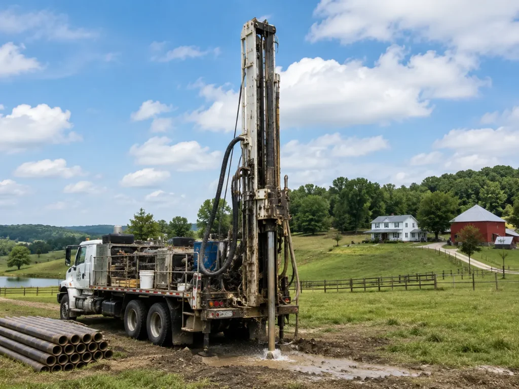
WaterFind USA Service Area
Winter Service Routes
California
Colorado
Kansas
Nevada
Utah
Summer Service Routes
Washington
Idaho
Montana
Colorado
Wyoming
Routes, scheduling, lead times, and availability may change. Contact WaterFind USA to confirm the current schedule for your property.
Related Groundwater & Water-Well Resources
- Learn about groundwater and aquifers.
- Learn how electro-seismology works.
- Review nearby water-well records.
- Learn about water-well construction.
- Learn about air rotary drilling.
- Learn about direct rotary drilling.
- Learn about cable tool drilling.
- Review water-well drilling cost factors.
- Review groundwater survey pricing and service areas.
- Read frequently asked questions.
Frequently Asked Questions About Finding Water Before Drilling
Can you find groundwater before drilling?
A pre-drilling survey can provide information about possible groundwater conditions and help compare drilling locations. However, drilling is required to confirm the actual conditions.
Can a groundwater survey guarantee water?
No. A survey can reduce uncertainty and provide additional information, but it cannot guarantee a specific drilling result.
Can the survey tell me how thick the aquifer is?
Survey interpretation may provide an estimate of the thickness of a potential water-bearing zone. Actual formation conditions are confirmed by drilling.
Can WaterFind tell me exactly where to drill?
The survey can help identify and compare promising locations. The final drilling location should also consider access, utilities, property requirements, local regulations, and the drilling contractor’s professional judgment.
Does a deeper aquifer mean a better well?
Not necessarily. Well productivity depends on the ability of the formation to store and transmit groundwater, not depth alone.
Should I have a drilling contractor before the survey?
Can the survey tell me how deep the aquifer is?
The survey may provide an estimate of potential aquifer depth. Actual depth is confirmed by drilling.
Can nearby wells tell me where to drill?
Nearby wells provide useful regional information. However, they cannot guarantee that another drilling location will have the same depth or yield.
Can the survey tell me how many gallons per minute I will get?
The survey may provide information related to groundwater potential, but actual sustainable GPM must be confirmed by pump testing after the well is completed.
Is groundwater surveying the same as dowsing?
No. WaterFind uses instrument-based seismic groundwater survey technology rather than hand-held dowsing rods.
FIND US NOW!
We are based in Peris Valley, California. Email us today to discuss your project, request a customized estimate, and received a DocuSign Service Agreement to get started.
Toll-Free: +1 (877) 388-7388
Canadian Cell : +1 (403) 845-6676
Email: waterfind333@gmail.com